s
By using a map column with a link, you can:
- View the location of a site on a map. This feature requires a data or internet connection.
-
View the distance of a site from your current location. This feature is specific to Android phone or iPhone.
NOTE: The phone settings must allow DiveTab to access the phone location.
Here is how this example appears in the code.
  report-page {
    title "Location"
    cplan "/cplans/lat-long.cplan"
    dimension "Place"

    location latlong-column = "calc-latlong"
    location-distance {
      link {
        map column = "Lat-Long"
      }
    }
    text "Map Me" {
      link {
        map column = "Lat-Long"
      }
    }
  }
IMPORTANT: Currently, DiveTab supports locations determined by latitude and longitude.
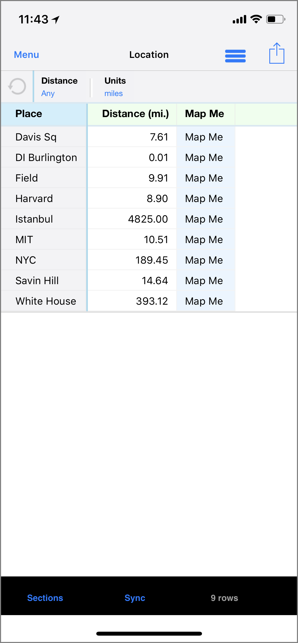
When included in a location-distance tag, the link to a map column displays the distance to that location from your current one in a Distance column. The location-distance tag automatically indicates the inclusion of Distance and Units QuickViews. These QuickViews allow you to filter the distance and change the units used to miles or kilometers.
NOTE: When using the location-distance tag, the location latlong-column tag is also required.
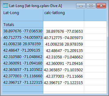
Here is an example of the ![]() cPlan in ProDiver, where the data for the map column is defined in a column called Lat-Long and the location latlong column is defined in a column called calc-latlong:
cPlan in ProDiver, where the data for the map column is defined in a column called Lat-Long and the location latlong column is defined in a column called calc-latlong:
Here is an ![]() example of a map column used as a web page link on the iPhone.
example of a map column used as a web page link on the iPhone.
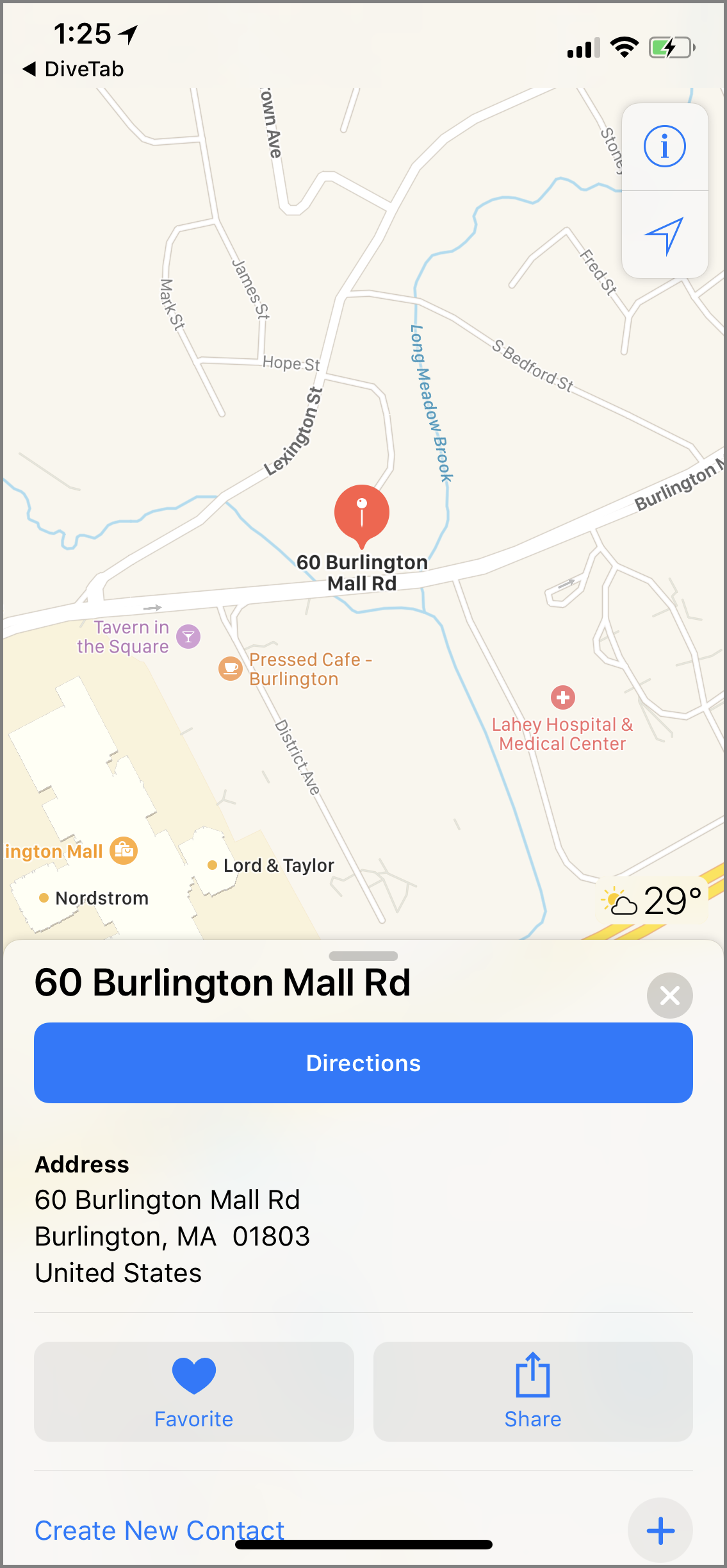
When included in a web-page tag, the link to a map column opens the place location with the device's default map application.
Here is the ![]() resulting page for the DI Burlington link on the iPhone.
resulting page for the DI Burlington link on the iPhone.
When you move locations and need to update the distance used in the columns, use Refresh Distance from the Options menu.


